- Camp Cooking Supplies
- Camp Furniture
- Camping & Hiking Hydration
- Camping Beds & Sleeping
- Camping Equipment
- Camping Heating & Cooling
- Camping Lighting
- Camping Power & Solar
- Camping Toilets & Showers
- Electronics
- Gazebos – Awnings & Shades
- Health & Safety
- Packs & Bags
- Portable Fridges & Coolers
- Tents
- Pet Supplies
-80%


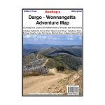
Rooftop Dargo – Wonnangatta Map
Original price was: AUD$17.50.AUD$3.50Current price is: AUD$3.50.
Hurry up! Sale Ends in
Only 12 left in stock
84 people are viewing this right now
G****e purchased in Chicago,  United States bought this(10 Minutes ago)
United States bought this(10 Minutes ago)
Over 60 people have this in their carts right now
Description
A double-sided map that covers some of the best 4WD country in Australia, with one side including Licola to Mt Hotham, and the other displaying from Dargo to Crooked River.
Map coverage is from Licola to Mount Hotham and from Briagolong to the Buckland Valley and everything in between including access routes into Wonnangatta Station, the Crooked River goldfields, Upper Dargo goldfields and Mitchell River National Park.
As well as detailed road and track information, there are lots of useful tips and warnings noted against various tracks. In the heart of the Victorian High Country, Rooftop Maps are a must for 4WD driving, walkers & horse riders.
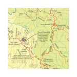
Scale is 1:100,000. First published last revised in 2006. See extract. The reverse side has a 1:50,000 scale enlargement titles Dargo – Howitt Plains Forest Activities Map providing more detail for Wonnangatta valley, Crooked River and the Howitt Plains near Licola.
- Model / Product Code
- 9781921886171
- Material
- Paper
- Product Weight
- 9 g
- Warranty
- 12 months
- Primary Activity(s)
- 4WD & Offroad
- EAN
9781921886171
Reviews (0)
Related products
-80%
Select options
This product has multiple variants. The options may be chosen on the product page
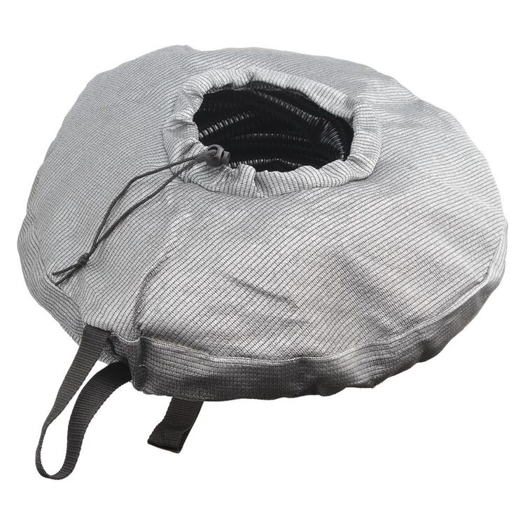
Supex Hose Bag Grey
Original price was: AUD$25.00.AUD$5.00Current price is: AUD$5.00.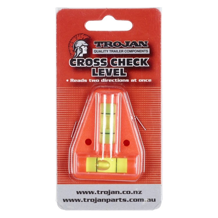
Trail Level Cross Check
Original price was: AUD$17.50.AUD$3.50Current price is: AUD$3.50.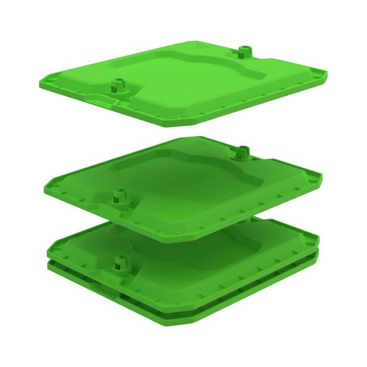
Tred GT Anti Sink Plate 4 Pack Green 4 Pack
Original price was: AUD$45.00.AUD$9.00Current price is: AUD$9.00.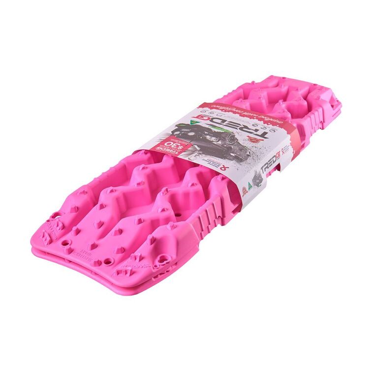
TRED GT Recovery Boards Pink 1085 mm
Original price was: AUD$230.00.AUD$46.00Current price is: AUD$46.00.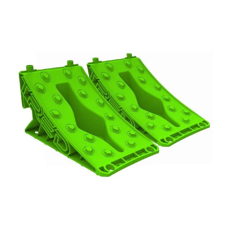
Tred GT Wheel Chock Green
Original price was: AUD$25.00.AUD$5.00Current price is: AUD$5.00.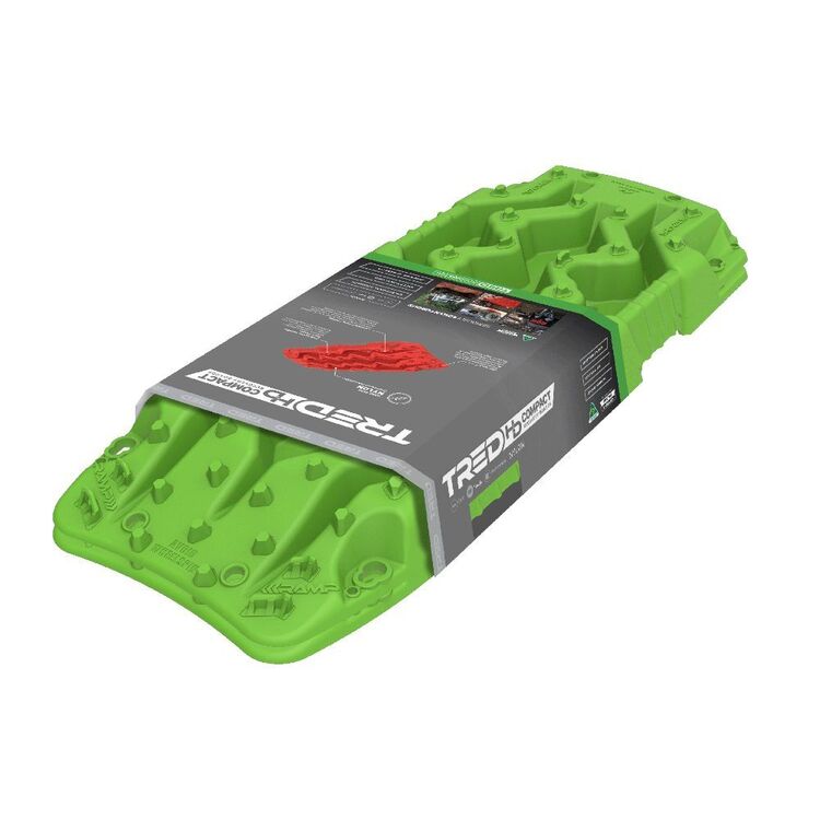
Tred HD Compact Recovery Board 790mm Green
Original price was: AUD$200.00.AUD$40.00Current price is: AUD$40.00.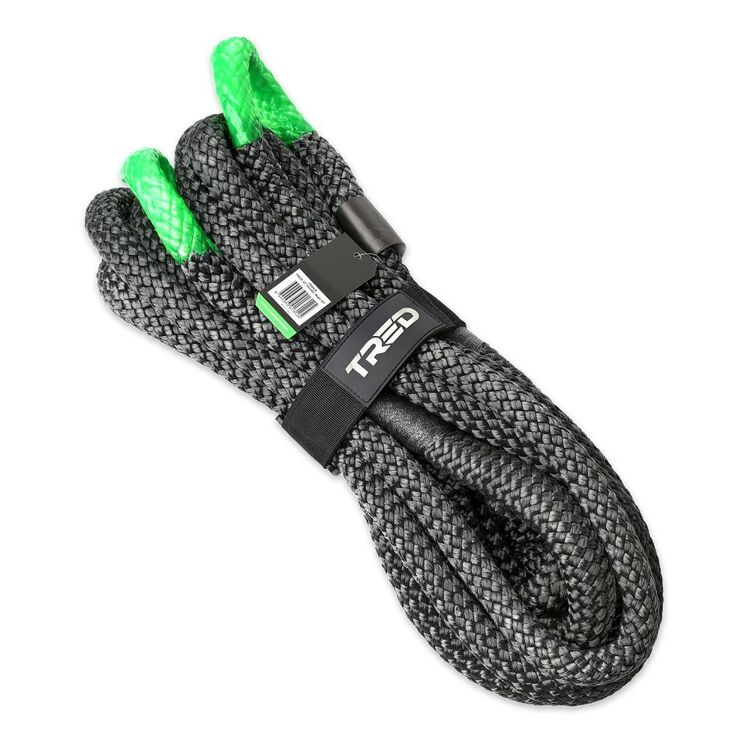
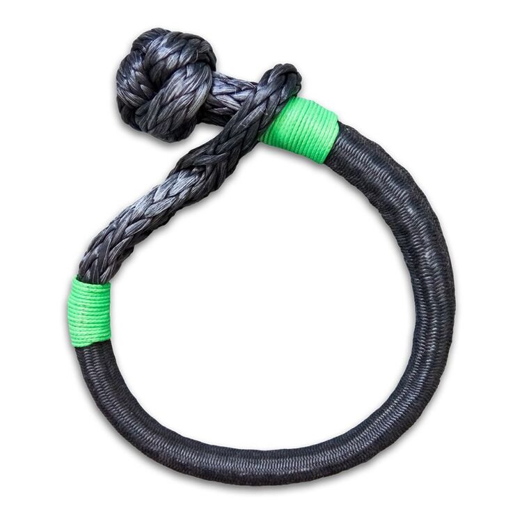
Tred HD Kinetic Rope 8.2T Grey 8.2T
Original price was: AUD$180.00.AUD$36.00Current price is: AUD$36.00.-80%
Select options
This product has multiple variants. The options may be chosen on the product page
Reviews
There are no reviews yet.