- Camp Cooking Supplies
- Camp Furniture
- Camping & Hiking Hydration
- Camping Beds & Sleeping
- Camping Equipment
- Camping Heating & Cooling
- Camping Lighting
- Camping Power & Solar
- Camping Toilets & Showers
- Electronics
- Gazebos – Awnings & Shades
- Health & Safety
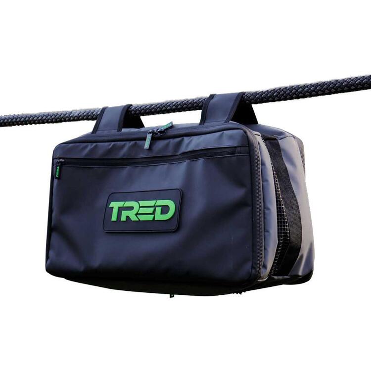
- Packs & Bags
- Portable Fridges & Coolers
- Tents
- Pet Supplies
-80%


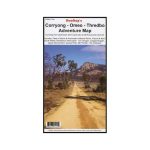
Rooftop Corryong – Omeo – Thredbo Map
Original price was: AUD$17.50.AUD$3.50Current price is: AUD$3.50.
Hurry up! Sale Ends in
Only 12 left in stock
84 people are viewing this right now
G****e purchased in Chicago,  United States bought this(10 Minutes ago)
United States bought this(10 Minutes ago)
Over 60 people have this in their carts right now
Description
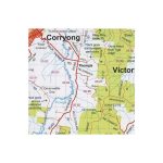
A map that covers from Dartmouth Dam to Mt Kosciuszko Summit, including parts of Alpine and Kosciuszko National Parks, Victoria and New South Wales, Benambra, Khancoban, Tom Groggin, Suggan Buggan, Upper Murray River, Davies Plain, Mt Pinnabar, and the Cobberas.
Map coverage includes Corryong, Khancoban, Nariel, Gibbo, Pinninbar, Tom Groggin, Benambra, Omeo, Taylors Crossing, Glen Dart, The Cobberas, Cowombat Flat, Suggan Buggan, Wulgulmerang, Davies Plain, Upper Murray and Thredbo and parts of the Alpine National Park, Kosciuszko National Park and Upper Murray River.
All parks, reserves and state forests are shown and all roads and tracks within the map area have been plotted using GPS mapping technology.
The reverse side features inset maps of Dartmouth Dam, Upper Murray and Mount Kosciuszko Summit Access.
- Model / Product Code
- 9781921886263
- Material
- Paper
- Product Weight
- 12 g
- Warranty
- 12 months
- Primary Activity(s)
- 4WD & Offroad
- EAN
9781921886263
Reviews (0)


Reviews
There are no reviews yet.